Projects
Flood Recovery
Client
- Auckland Council
Project Leads
Location
- Auckland – Northland

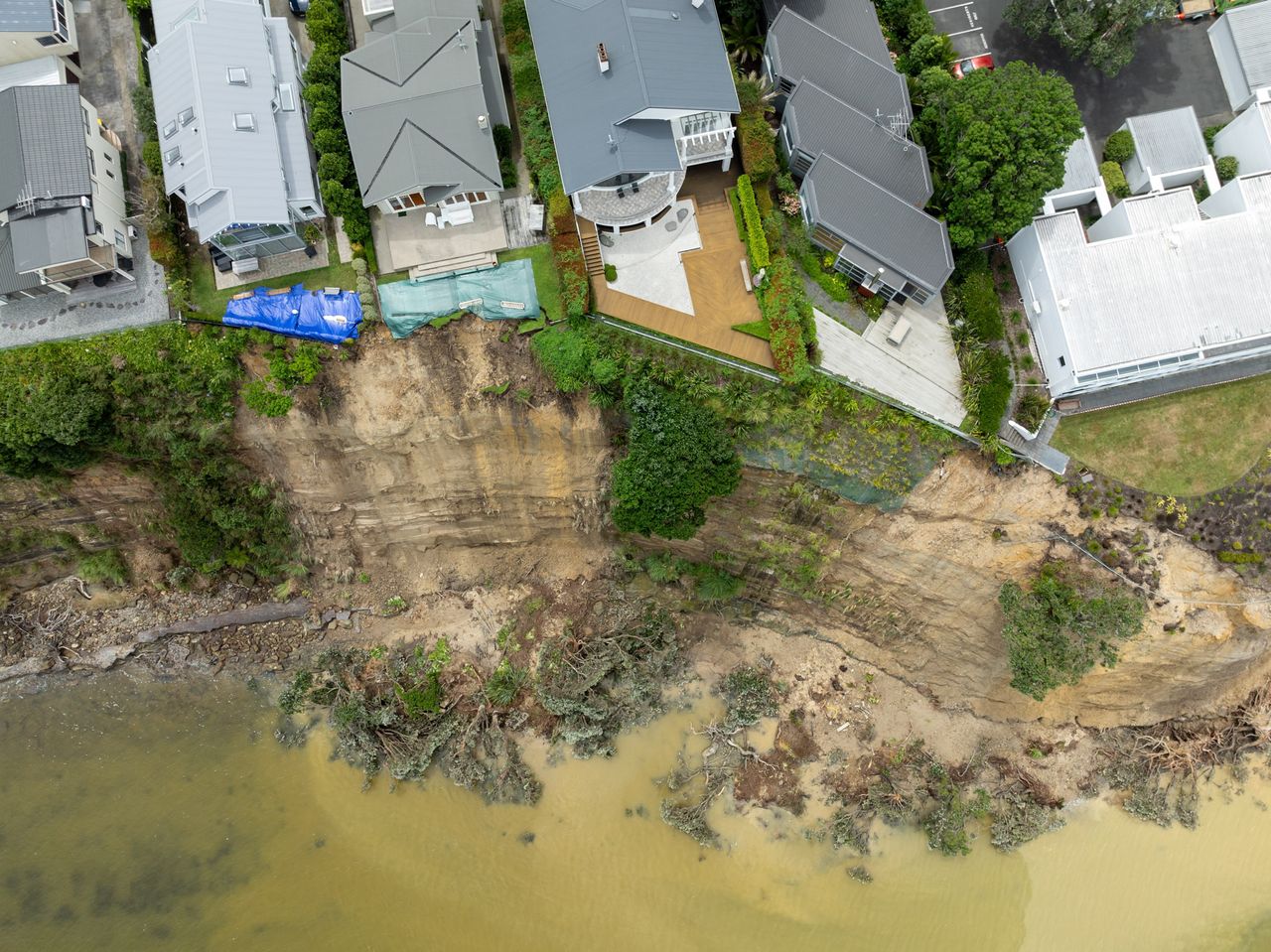
After the devastating impact of the Auckland Anniversary weather event and Cyclone Gabrielle in 2023, many Auckland residents suffered significant property damage with some losing their homes. To address the impact of floods and landslides on properties, Auckland Council established the Tāmaki Makaurau Flood Recovery Office.
The Office’s mandate is to provide support for the on-going recovery efforts, in addition to the financial relief provided to affected homeowners where appropriate. The Office’s establishment was a critical step in restoring safety and hope to the affected communities.
RCP was brought on board to provide programme and project management support. Due to the variety of projects resulting from the weather events, the work has been multi-faceted.
Property Categorisation: The first and most complex project is the categorisation of landslide-affected properties in Waitakere, and subsequently Auckland-wide. Managed client-side by RCP and delivered by GHD, CMW, and LDE, this project is focused on the geotechnical risks for approximately 300 landslide affected properties across the Waitakere region. These geotechnical risk assessments are necessary to determine the ‘risk to life’ from further landslide events. If the 'risk to life' is unacceptable, engineering interventions are explored to reduce these risks to an acceptable level. The assessment then informs Auckland Council’s decision to either provide funding to homeowners to implement the engineering solutions, or for the buyout of their homes due to an intolerable risk to life.
Using the Waitakere categorisation as a template, the team then applied the process across Auckland to flood and landslide affected properties. This Auckland-wide effort was significant and saw over 3,100 properties opt-in for categorisation, over 1,400 geotechnical desktop triages undertaken, and over 250 properties assessed by twelve different geotechnical consultants.
Natural Hazards Programme: RCP also managed the existing natural hazards programme projects that were fast-tracked into the Recovery Office due to the severe weather events. Once such project was the Auckland-wide Landslide Susceptibility Study Project, which saw Auckland Council partnering with WSP. The study aimed to assess the risk of landslides across the region by evaluating susceptible areas such as hills, valleys, cliffs, rivers and slopes. The study provides calculated risk ratings which informs Auckland Council’s planning and consenting decisions, resulting in safer development practices.
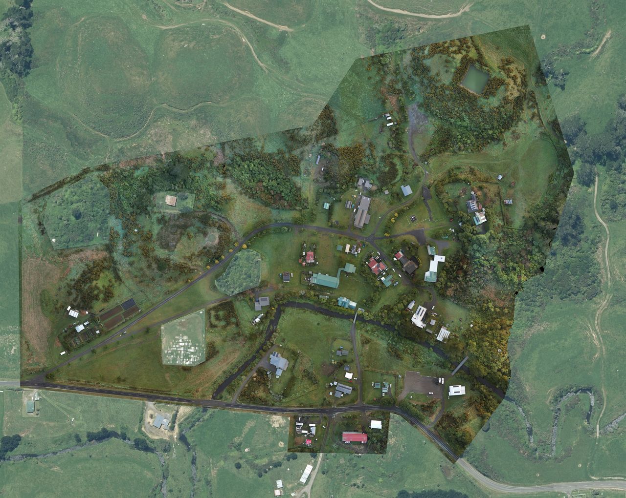
Coast Cliff Asset LiDAR Collection and Analysis: Another significant undertaking was the Coast Cliff Asset LiDAR Collection and Analysis project. This involved using helicopters to capture detailed 3D topographical data of Auckland’s coastal areas. The resulting digital model will be a valuable tool for asset managers, enabling detailed monitoring of erosion and cliff stability. RCP is working to ensure that the project maximises its impact and efficiency, ultimately aiming to protect the homes and lives of those in vulnerable coastal regions.
National Landslide Database: RCP are also managing and improving the operation of the National Landslide Database in collaboration with BECA. This geospatial database allows for comprehensive reporting and analysis of landslides that is accessible to researchers, consultants, and the public.
Categorisation data management: Acting as custodians of the categorisation data, RCP implemented interim solutions to manage and automate property categorisation data and its processes, thereby supporting the overall efficiency and effectiveness of the Flood Recovery Office’s operations.
Working alongside Auckland Council and its multiple partners, RCP’s work encompassed multiple projects from landslide risk assessments to data management solutions. The team’s efforts are not only facilitating immediate recovery but also contributing to the long-term resilience and safety of Auckland’s communities.
Currently, the Property Categorisation programme will continue until opt-ins closes in September 2024 and conclude in December 2024 with the Recovery Office’s disbandment.
The Natural hazards programme and its projects (including LiDAR and National Landslides Database) will continue beyond December 2024 with its management returning to Auckland Council’s Engineering, Assets and Technical Advisory (EATA) team.


